

Challenges
Uploading of big size CAD files
Fast response for getting CAD elements
Realtime downloading of a map data
Smart drawing tools and navigation
Our Approach
A 3D engine for section view based on three.js is used. Our algorithm is able to generate 3D models of tubes based on 2D data of segments. Bounding intersection algorithms are used for realtime downloading of segments and areas. Map view powered by Mapbox framework. CAD file processing based on a free open source library - LibreDWG. Backend side scalable and ready for high load.

What Our Team Says


While developing we have been aware of the fact that this solution will be used on a global scale, and therefore the functionality should be particularly convenient. During the UI/UX creation, attention has been paid for the objects to be clearly visible on the map and easily converted into 3D format. It's a great pleasure to work on projects that will be used to improve cities.


Would you like to collaborate with us?
Have an idea or project? Fill out the form below, and we'll get back to you as soon as possible.
You May Find Interesting

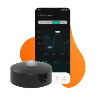
AI Energy Control Solution
Layla Electric is an all-in-one AI-powered platform that simplifies energy management and saves property owners money.
Learn More
AIR CONTROL APP
Client-Server solution for visualization and manage device`s data in real time.
Learn More
Visual Programming IDE
The application represents the creator for visual programming supporting states of varying complexity, events, event handlers and building different connections between them. That provides the ability of designing of software architecture and managing of program elements graphically rather than by specifying them textually.
Learn More